This natural-color image of mountains of central Pennsylvania taken by Landsat 8 shows the colors of changing leaves and the unique topography of the region. Thanks to more than 50 years of planetary observation from low-Earth orbit, it’s possible to see natural changes and those engineered by humans.
Credit: NASA
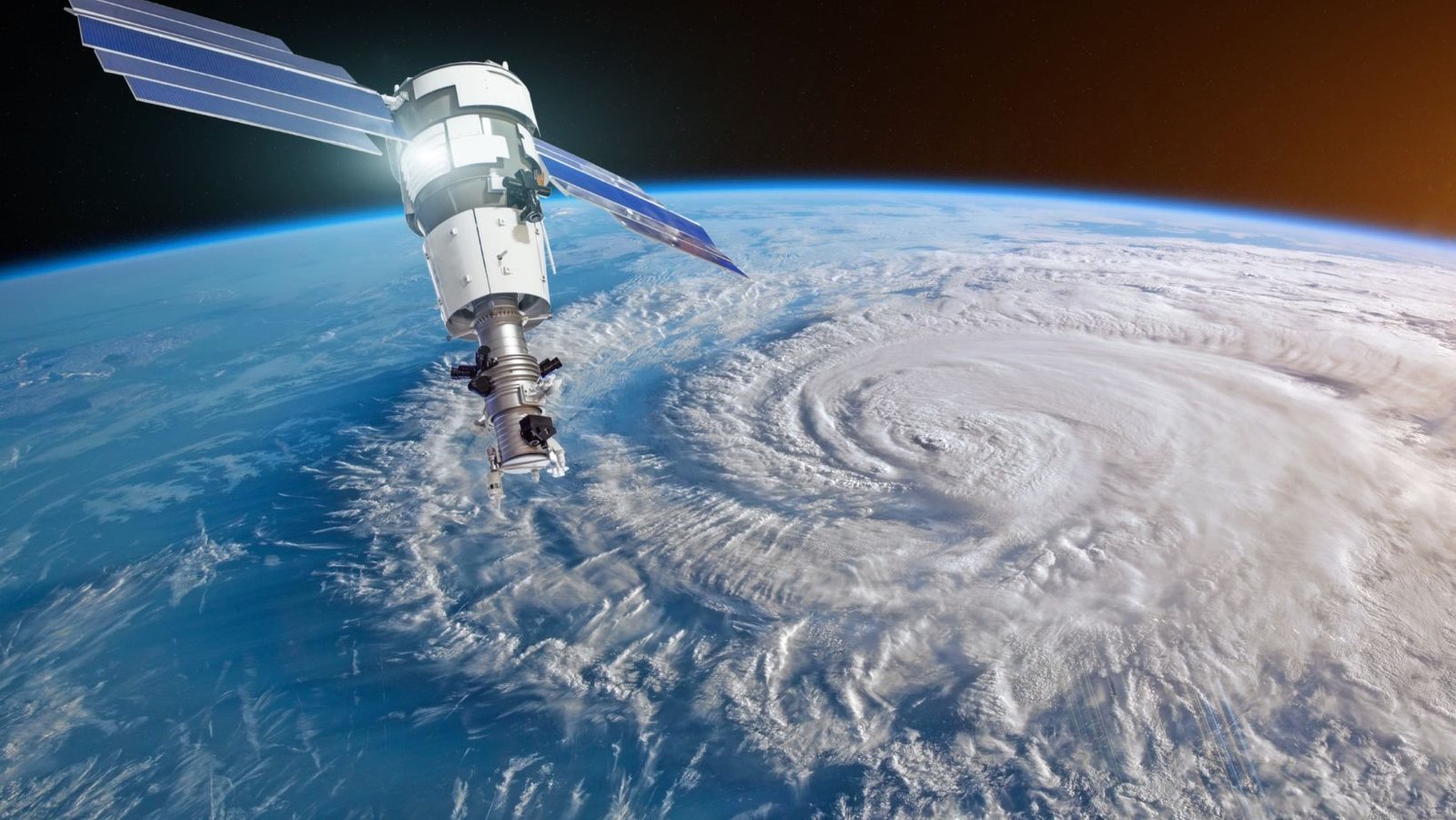
Natural disasters like volcanic eruptions, floods, and tornados can dramatically change the surface of Earth to the point where alterations are visible in space. Changes driven by human actions and interventions, such as mining and deforestation, are also visible in satellite imagery.
Continue reading on Mirage News
